Overview
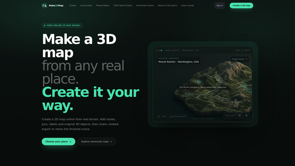
Make 3D Map is a powerful, browser-based 3D terrain generator that transforms real-world geographic data into immersive, interactive 3D landscapes. By bridging the gap between GIS data and creative design, it allows users to lift elevation data from any location on Earth to create tactile 3D dioramas, shareable stories, and production-ready assets.
Main Purpose and Target User Group
The platform serves as an interactive mapping tool designed for creators who need to visualize real-world geography. It is ideal for:
- Educators and historians: Creating explorable cultural heritage exhibits.
- Game developers and worldbuilders: Prototyping terrain and atmosphere.
- Travel bloggers and storytellers: Documenting routes and journeys.
- Designers and hobbyists: 3D printing terrain or creating custom 3D landscape visualizations.
Function Details and Operations
Real-World Terrain Extraction
Search any location globally to frame and lift actual elevation data into a 3D workspace.
Map Assistant
Utilize AI-driven assistance to research locations, analyze visual references, and place recognizable 3D objects accurately.
Custom Asset Library
Upload and store custom 3D models (up to 250 MB), textures, and images in a reusable library for future projects.
Interactive Editing
Features surface-aware tools for dragging, scaling, and rotating objects directly onto the terrain.
Storytelling Layers
Add routes, pins, labels, and atmospheric effects to create narrative-driven maps.
Export & Production
Export files in 3MF or STL formats for 3D printing, or use GLB files for integration into professional pipelines like Blender, Unity, or Unreal Engine.
User Benefits
- Accessibility: No complex software installation required; the entire workflow is browser-based.
- Creative Freedom: Transform static geography into living, interactive scenes that can be remixed by the community.
- Efficiency: Save time by using real-world data as a foundation rather than building from a blank canvas.
- Versatility: Seamlessly transition from a web-based interactive map to a physical 3D print or a professional game development asset.
Compatibility and Integration
Web Integration
Easily embed finished 3D maps into websites via clean URLs.
Asset Compatibility
Supports standard 3D formats including GLB, JPEG, PNG, and WebP.
Ecosystem Synergy
Integrated with the Tripo API for advanced 3D generation, allowing users to generate models and bring them directly into their map scenes.
Access and Activation Method
Users can access the tool directly at https://make3dmap.com/. To unlock advanced features—such as uploading custom 3D models, embedding maps on external sites, and exporting files for 3D printing—users simply need to sign in to their creator account.